Dubai Metro Blue Line Map: Route, Stations and Districts
The official Dubai Metro Blue Line map shows a 30km Y-shaped route with 14 stations across 9 districts of Dubai, opening 9 September 2029. Full route breakdown, underground vs elevated sections, interchange points, journey times and where to find the official RTA map.

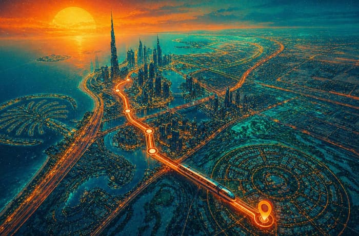
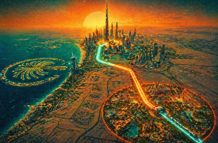
The Dubai Metro Blue Line map shows a 30-kilometre Y-shaped route covering 14 stations across 9 districts of Dubai. The line connects to both existing metro lines — the Green Line at Creek station and the Red Line at Centrepoint — and opens on 9 September 2029. This guide explains the full map: the route, every station, which sections run underground, where interchanges are, and where to find the official RTA map.
📍 Dubai Metro Blue Line Map — At a Glance
- 📏 Total length: 30km in a Y-shape
- 🚉 Total stations: 14 across 9 districts
- 🔴 Underground: 15.5km, 5 stations
- 🔵 Elevated: 14.5km, 9 stations
- 🔄 Connects to Green Line at Creek (Al Jaddaf) and Red Line at Centrepoint (Al Rashidiya)
- 🌉 First metro bridge over Dubai Creek — 1.3km span between Ras Al Khor and Festival City
- 📅 Opens: 9 September 2029
The Official Dubai Metro Blue Line Map
The Roads and Transport Authority (RTA) released the official Blue Line route map in December 2025. It is available on the RTA website and was shared on the @rta_dubai X account with a video walkthrough of the full route.
What the Blue Line Map Shows: The Y-Shape Explained
The single most important thing to understand about the Blue Line map is that it is not a straight line. It is a Y-shape with two separate starting points and one shared ending point at Academic City.
Why is the Blue Line map Y-shaped? The line connects to two existing metro lines at two different locations — the Green Line at Al Jaddaf in the north-west, and the Red Line at Al Rashidiya in the north. Both branches merge underground at International City 1, then continue as a single spine south-east to Academic City. A passenger from Mirdif and a passenger from Dubai Creek Harbour both travel on the same train from International City 1 onwards — no change required.
Blue Line Map: Full Route Station by Station
The Blue Line map divides into three sections. Here is each one in full.
Underground vs Elevated on the Map
On the Blue Line map, underground sections run beneath street level through the most built-up areas. Elevated sections run on viaducts above ground — similar to how the Red Line runs above Sheikh Zayed Road today.
| Station | Map Type | District |
|---|---|---|
| Creek Interchange | 🟢 Elevated · Interchange | Al Jaddaf |
| Dubai Festival City | 🔵 Elevated | Festival City |
| Emaar Properties Station | 🔴 Underground | Dubai Creek Harbour |
| Ras Al Khor | 🔵 Elevated | Ras Al Khor |
| International City 1 | 🔴 Underground · Interchange | International City |
| International City 2 | 🔴 Underground | International City |
| International City 3 | 🔴 Underground | International City |
| Dubai Silicon Oasis | 🔵 Elevated | Silicon Oasis |
| Academic City | 🔵 Elevated · Terminus | Academic City |
| Centrepoint Interchange | 🟢 Elevated · Interchange | Al Rashidiya |
| Mirdif | 🔵 Elevated | Mirdif |
| Al Warqa | 🔵 Elevated | Al Warqa |
The Dubai Creek Bridge — The Map’s Most Notable Feature
On the Blue Line map, the section between Ras Al Khor and Dubai Festival City crosses Dubai Creek via a 1.3-kilometre dedicated metro bridge — the first in the network’s history. Without it, passengers from the Festival City side would need to transfer at Al Jaddaf. The bridge makes the entire Branch A a single seamless ride.
How the Blue Line Fits into the Full Dubai Metro Map
Once open, the Blue Line adds two new interchange points to the Dubai Metro network and brings the total station count from 64 to 78.
| Connection | Station | Lines |
|---|---|---|
| Blue ↔ Green Line | Creek Interchange (Al Jaddaf) | Blue Line + Green Line |
| Blue ↔ Red Line | Centrepoint (Al Rashidiya) | Blue Line + Red Line |
| Future connection | Academic City area | Blue Line + Etihad Rail |
Estimated Journey Times
| Journey | Blue Line (estimated) | By car off-peak |
|---|---|---|
| Creek (Al Jaddaf) → Academic City | ~25 min | ~45 min |
| Al Rashidiya → International City | ~12 min | ~25 min |
| DXB Airport → Academic City | ~20 min | ~40 min |
| Mirdif → Dubai Creek Harbour | ~18 min | ~35 min |
| Silicon Oasis → Al Jaddaf | ~25 min | ~50 min |
9 Districts on the Blue Line Map
| District | Why It Matters |
|---|---|
| Al Jaddaf | Green Line connection; waterfront community |
| Dubai Festival City | Major mall, 77,000 residents — no current metro |
| Dubai Creek Harbour | Dubai’s fastest-growing waterfront development |
| Ras Al Khor | Industrial area + flamingo sanctuary — first metro link |
| International City (1, 2, 3) | 200,000+ residents, Dragon Mart — currently no metro |
| Dubai Silicon Oasis | 50,000-worker tech hub — currently no metro |
| Academic City | 50,000+ students across UAE universities |
| Mirdif | Dense suburban community — long-awaited first metro stop |
| Al Warqa | 60,000 residents, Dubai Safari Park |
More on the Dubai Metro Blue Line
Frequently Asked Questions — Dubai Metro Blue Line Map
What shape is the Dubai Metro Blue Line map?
A: Y-shaped. Unlike the Red and Green Lines which run in roughly straight corridors, the Blue Line has two branches that merge at International City 1 before continuing as one spine to Academic City. Branch A starts at Creek in Al Jaddaf (Green Line connection). Branch B starts at Centrepoint in Al Rashidiya (Red Line connection).
How many stations are on the Dubai Metro Blue Line map?
A: 14 stations — 9 elevated and 5 underground. There are 3 interchange stations: Creek (connects to Green Line), Centrepoint/Al Rashidiya (connects to Red Line), and International City 1 (the Y-junction where both branches meet).
Which areas does the Dubai Metro Blue Line map cover?
A: Al Jaddaf, Dubai Festival City, Dubai Creek Harbour, Ras Al Khor, International City (three stations), Dubai Silicon Oasis, Academic City, Mirdif, Al Warqa and Al Rashidiya — nine districts across eastern and south-eastern Dubai, projected to house over one million residents by 2040.
Is the Dubai Metro Blue Line on Google Maps?
A: Not yet as an active line. The Blue Line route appears on some property and planning platforms but is not on the live Google Maps transit layer. It will be added to Google Maps and the RTA app when the line opens in September 2029.
When will the Dubai Metro Blue Line map become active?
A: The Blue Line opens on 9 September 2029 — the 20th anniversary of Dubai Metro. At that point the line is added to all official RTA maps, apps and station signage across the network.
Sources: RTA Dubai — Blue Line project page, Dubai Media Office, Khaleej Times. Updated May 2026.